Rainfall Totals: Monday 7/29

As some isolated thunderstorms continues to trek eastward across the Northland this morning, many areas received upwards of an inch and a half of rain. Here is a look at some of the rainfall totals across the various regions of central Minnesota and northwestern Wisconsin.
Some more slow moving storms are still lingering over northwestern Wisconsin and bringing in localized heavy rainfall to the regions along the South Shore. Portions of northern Douglas County are now under both a Flash Flood Warning and Flood Advisory until 10 pm tonight as the rounds of thunderstorms are expected to continue.
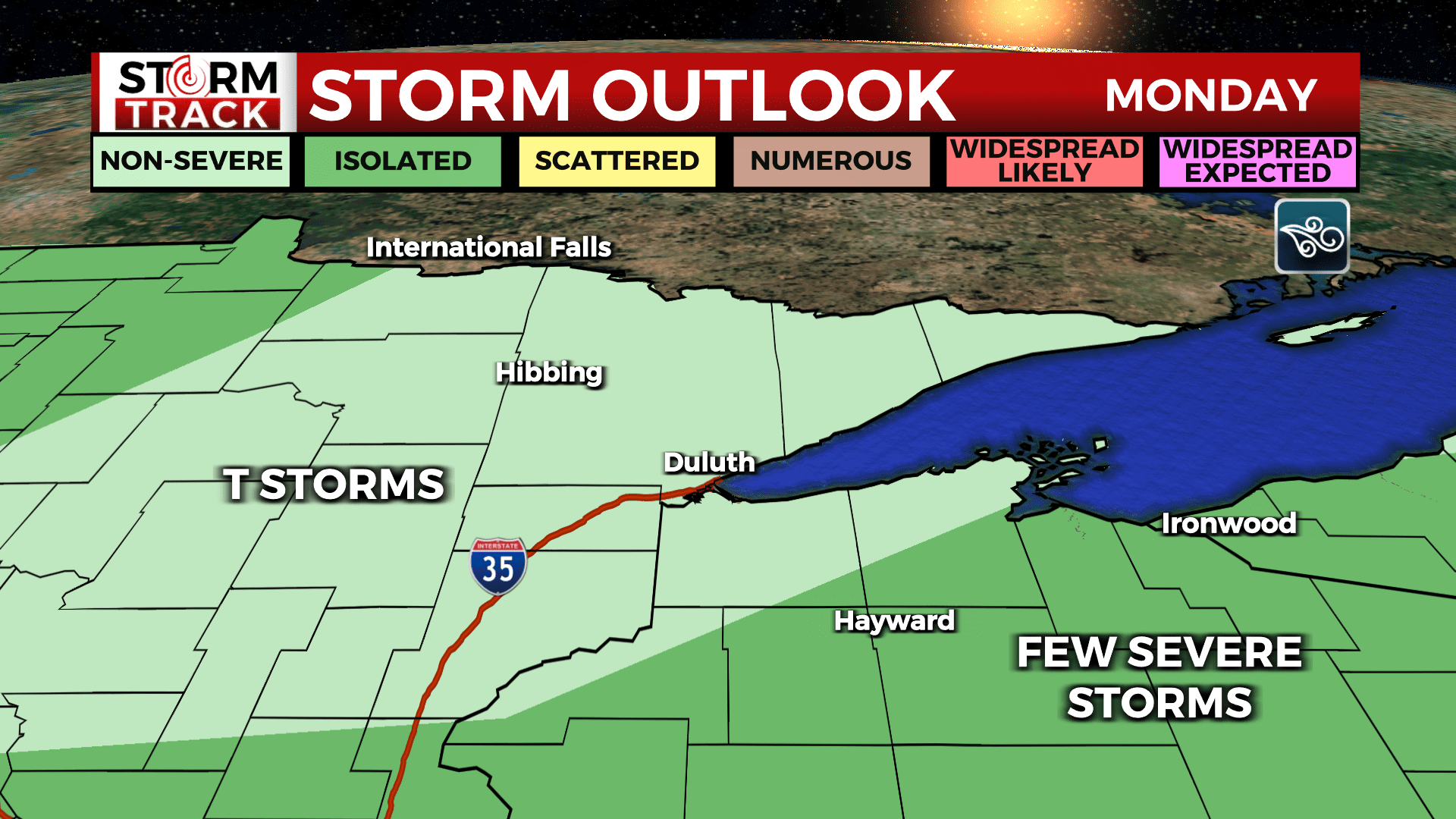
There is still a chance for more showers and thunderstorms over in central Minnesota through Tuesday afternoon, but the next threat for strong to severe weather will not be until Wednesday and Thursday this week. That system will bring risks for damaging winds, localized heavy rainfall and will disrupt the humid conditions we will see all week long.
- 7:00 AM 7/29 – 2 S Tamarack – 2.88 inches – Aitkin County
- 5:00 AM 7/29 – 4 NW Pine Knoll – 2.70 inches – Crow Wing County
- 7:15 AM 7/29 – 4 WNW Friesland – 2.38 inches – Pine County
- 7:01 AM 7/29 – 1 W Cass Lake – 1.86 inches – Cass County
- 6:00 AM 7/29 – 2 SW Moose Lake – 1.68 – Carlton County
- 7:06 AM 7/29 – 4 NNE Randall – 1.58 inches – Burnett County