Justin Liles: Thick fog to spread around the Northland this evening
You may have noticed the fog develop over Lake Superior today. This fog will spread across the Northland tonight creating some dense fog heading into Friday morning. All the warmth and semi-humid conditions is colliding with the cooler lake breeze to create the fog. Friday fog will begin to dissipate by mid-morning. More sunshine is expected to last through day. Winds will be off the lake keeping shoreline communities much cooler than average.
Some showers and thunderstorms are possible later in the day Saturday. Clouds will hang around most of the day. By Sunday the clouds will have cleared out and temperatures look to stay in the 80s. Mild weather sticks around through nearly all next week. There will be a few chances of rain next week too.
TONIGHT
Patchy fog after 9pm. Otherwise, partly cloudy, with a low around 56. East wind 5 to 10 mph, with gusts as high as 15 mph.
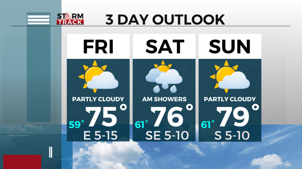
FRIDAY
Areas of fog before 9am. Otherwise, mostly sunny, with a high near 77. East wind 5 to 10 mph, with gusts as high as 20 mph.
SATURDAY
A chance of showers, with thunderstorms also possible after 1pm. Mostly cloudy, with a high near 74. Southeast wind 5 to 10 mph.
SUNDAY
Mostly sunny, with a high near 80. South wind 5 to 10 mph, with gusts as high as 15 mph.
MONDAY
A slight chance of showers and thunderstorms after 1pm. Partly sunny, with a high near 79. South wind 5 to 10 mph, with gusts as high as 15 mph.
TUESDAY
Mostly sunny, with a high near 78. Breezy, with a south wind 5 to 15 mph, with gusts as high as 20 mph.
WEDNESDAY
A chance of showers. Mostly sunny, with a high near 78. Breezy, with a south wind 10 to 15 mph, with gusts as high as 25 mph.
THURSDAY
A chance of showers and thunderstorms. Partly sunny, with a high near 76. South wind 5 to 10 mph, with gusts as high as 15 mph.