Lea Zmurko: Sunshine and warmer weather continues
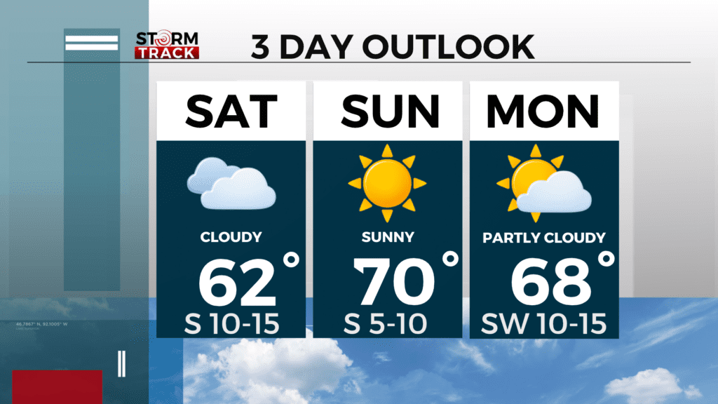
Sunday will be bright with widespread sunshine and temperatures continuing to trend 15 to 25 degrees above normal through Monday afternoon. Highs will be in the low to mid 70s across the region with a warm breeze continuing from the southwest at 10-15 mph. Winds will die down at the start of the new work week, and the temperatures will gradually fall back to normal as a cold front sweeps eastward Tuesday.
Rain chances return for Tuesday afternoon and remain elevated through Wednesday as an embedded trough crosses the Great Lakes bringing precipitation across northeastern Minnesota. It will mostly be rain, but a few flakes are possible across the Arrowhead as temperatures fall into the 40s mid-week.
Sunday
Sunny, with a high near 73. Breezy, with a southwest wind 10 to 15 mph, with gusts as high as 25 mph.
Sunday Night
Mostly clear, with a low around 53. Southwest wind 5 to 10 mph, with gusts as high as 15 mph.
Monday
Mostly sunny, with a high near 68. Southeast wind 5 to 10 mph, with gusts as high as 15 mph.
Tuesday
Showers likely, mainly after 1pm. Partly sunny, with a high near 70. Breezy, with a southwest wind 10 to 15 mph, with gusts as high as 25 mph. Chance of precipitation is 60%. New precipitation amounts of less than a tenth of an inch possible.
Wednesday
A slight chance of showers before 1pm. Mostly sunny, with a high near 47. Breezy, with a northwest wind 10 to 15 mph, with gusts as high as 25 mph.
Thursday
Mostly sunny, with a high near 53. Southwest wind 5 to 10 mph, with gusts as high as 15 mph.
Friday
Mostly sunny, with a high near 55. West wind 5 to 10 mph becoming southeast in the afternoon. Winds could gust as high as 15 mph.
Saturday
Mostly sunny, with a high near 57. South wind around 10 mph, with gusts as high as 20 mph.