Snow report for February 27 and 28

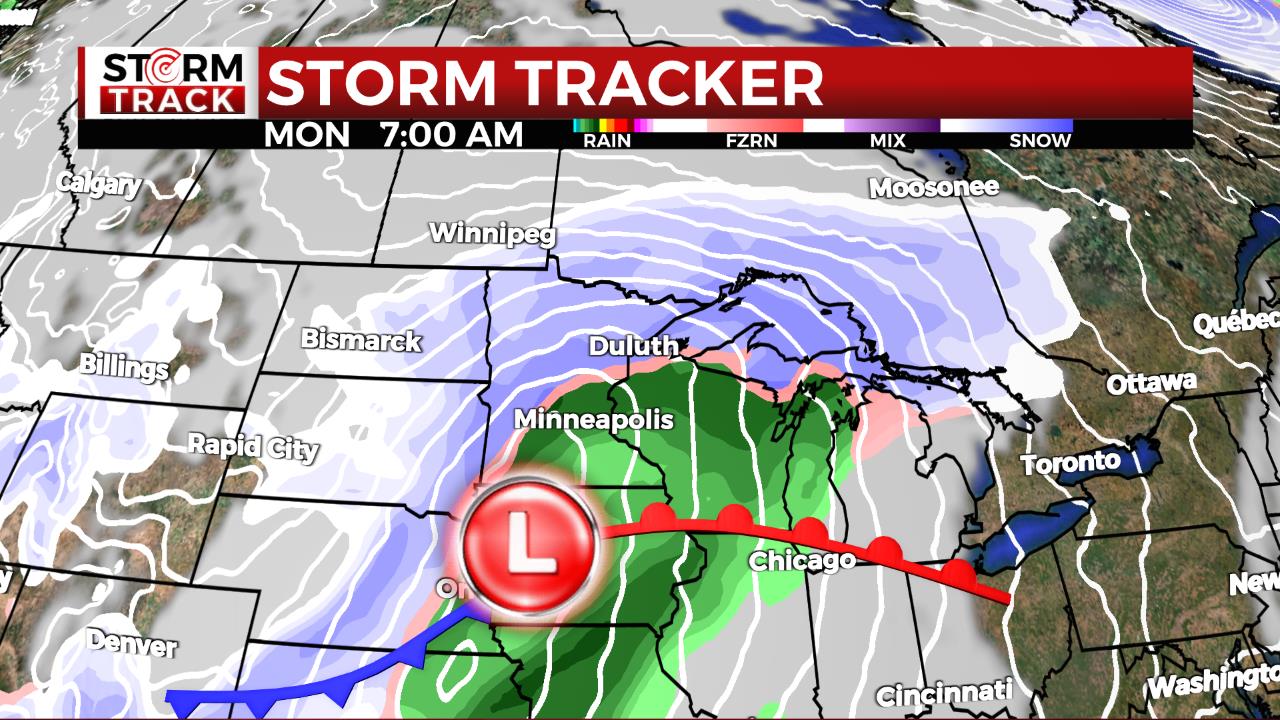
A strong cold front brought high winds, much colder air, and snow to the Northland Tuesday into Wednesday.
The “weather whiplash” resulted in a morning low of -16° in International Falls on Wednesday. This was nearly 70° colder than the temp observed just 40 hours earlier. Monday’s high of 53° tied the previous record from 1958 for February 26 in International Falls.
The greatest snow accumulation fell in Koochiching County on Tuesday with as much as 6″ observed. Amounts quickly dropped off going south. Several inches then fell along the South Shore of Lake Superior Tuesday night into Wednesday morning.
Snowfall Reports: (Reported to the NWS as of 9 AM February 28)
- 8:00 AM – Indus – 6.0 inches – Koochiching County
- 7:00 AM – 5.1 SSW International Falls – 5.4 inches – Koochiching County
- 8:00 AM – 1.5 NW Kabetogama – 5.3 inches – St. Louis County
- 7:00 AM – 3.8 W Saxon – 4.0 inches – Iron County
- 6:00 AM – 2.0 NE Hurley – 3.5 inches – Iron County
- 7:15 AM – 8.4 ESE Northome – 3.0 inches – Itasca County
- 7:00 AM – 9 N Bayfield – 2.9 inches – Bayfield County
- 8:48 AM – Mellen – 2.5 inches – Ashland County
- 6:00 AM – 3 E Orr – 2.2 inches – St. Louis County
- 6:00 AM – 8 NE Cook – 1.8 inches – St. Louis County
- 8:00 AM – Cass Lake – 1.6 inches – Cass County
- 7:00 AM – 7 NNE Mercer – 1.3 inches – Iron County
- 6:00 AM – 3 SW Butternut – 1.3 inches – Price County
- 7:00 AM – 4.5 NNE Sarona – 1.2 inches – Washburn County
- 7:00 AM – 1.2 N Bayfield – 1.1 inches – Bayfield County
- 7:00 AM – 4.4 SSE Hayward – 1.0 inch – Sawyer County
- 6:00 AM – 9.8 W Ashland – 1.0 inch – Bayfield County
- 8:00 AM – 10.2 ENE Cable – 1.0 inch – Bayfield County
- 9:00 AM – 10.6 WNW Spooner – 1.0 inch – Burnett County
- 6:00 AM – NWS Duluth – 0.2 inch – St. Louis County
Duluth’s 0.2″ brings the monthly total through February 27 to 1.6″. With no additional accumulation expected February 28 and February 29, it should end up being the least snowy February on record. The current record in Duluth is 2.1″ in 1896.
The cold is with us again Wednesday night into Thursday morning, then we begin a warming trend with many areas returning to 50s by Friday. Find the forecast here.