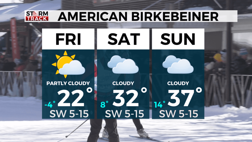
Justin Liles: Warming trend through the weekend

Our weather fortune is taking a turn for the better. After experiencing a stretch of cold-wintry weather, we’re going to experience a big end of February thaw. Milder weather returns for the weekend and looks to stick around well into next week. Tonight, temperatures will likely drop below zero again, but we’ll rebound nicely. Temperatures will continue to climb through the weekend as southwest winds take over and bring in temperatures that will climb into the upper 30s and lower 40s. This makes for a wonderful weekend for the American Birkebeiner.
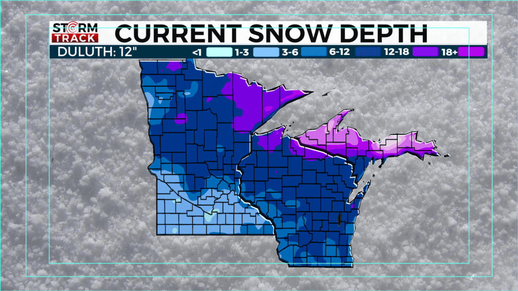
Warmer temperatures along with a chance of rain and breezy conditions will lower our snowpack over the next week. There is a chance for a wintry mix Sunday, Monday, and then again on Wednesday. It does look like we may see colder temperatures returning the first week in March. We’re just not going to see much precipitation at this moment. Enjoy your weekend.
Tonight
Mostly clear, with a low around -2. Northwest wind around 5 mph.
Friday
Mostly sunny, with a high near 21. Breezy, with a southwest wind 5 to 15 mph, with gusts as high as 25 mph.
Saturday
Partly sunny, with a high near 32. Southwest wind around 10 mph, with gusts as high as 15 mph.
Sunday
A 30 percent chance of snow after noon. Mostly cloudy, with a high near 36. Southwest wind 5 to 10 mph, with gusts as high as 15 mph.
Monday
A slight chance of rain and snow before noon, then a chance of rain. Mostly cloudy, with a high near 40. West wind around 10 mph, with gusts as high as 20 mph.
Tuesday
Partly sunny, with a high near 40. Northwest wind around 10 mph, with gusts as high as 15 mph.
Wednesday
A chance of rain and snow. Partly sunny, with a high near 37. North wind 5 to 10 mph, with gusts as high as 15 mph.
Thursday
A slight chance of snow. Partly sunny, with a high near 32. Northwest wind around 10 mph, with gusts as high as 15 mph.