Lea Zmurko: Sunday showers still to come
Cloud coverage will continue to build today as temps range from the mid-40s to low 50s. There will be intermittent rounds of rain for the morning but soon precipitation will encompass the entire region until early Tuesday morning.
Rain accumulation will range from a couple tenths of an inch to three quarters of an inch across the Northern border. Strong storms with rumbles of thunder can be expected with marginal instability in the atmosphere. As the low-pressure system swirls through cold air advection will push into the region on the backside. Some wintery mix can also be expected as those northwest winds gust across Monday evening. Two inches or less of snow is possible, greater amounts will land along the Arrowhead and north of the Iron Range. Lingering lake effect precipitation could elevate amounts for the South Shore as well. The flakes will be mixed in with continuing rain as the wet weather remains widespread and surface temperatures remain in the mid-40s.
With some quiet days to come there will still be a few more rounds of April shower next week as temperatures stay seasonable.
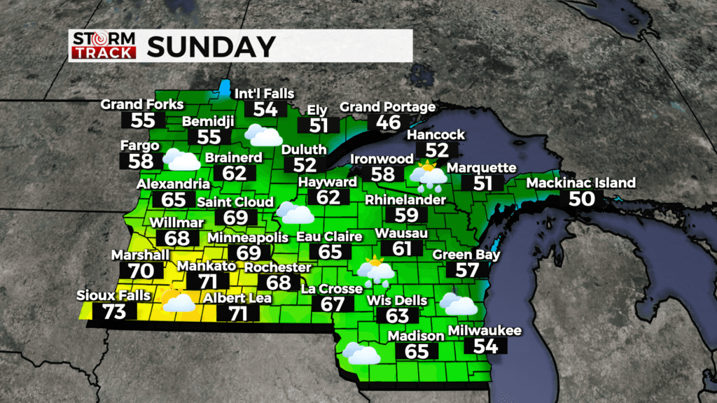
Sunday
A chance of rain, with thunderstorms also possible after 1pm. Mostly cloudy, with a high near 52. East wind 5 to 10 mph, with gusts as high as 15 mph. Chance of precipitation is 50%.
Sunday Night
Rain. Low around 35. Breezy, with an east wind 10 to 15 mph becoming west after midnight. Winds could gust as high as 25 mph. Chance of precipitation is 80%. New precipitation amounts between a quarter and half of an inch possible.
Monday
Rain, possibly mixed with snow before 10am, then rain between 10am and 4pm, then rain, possibly mixed with snow after 4pm. High near 42. Breezy, with a northwest wind 15 to 20 mph, with gusts as high as 30 mph. Chance of precipitation is 90%. Little or no snow accumulation expected.
Tuesday
Mostly sunny, with a high near 45. Breezy, with a northwest wind 15 to 20 mph, with gusts as high as 30 mph.
Wednesday
Mostly sunny, with a high near 49. Southeast wind 5 to 10 mph, with gusts as high as 20 mph.
Thursday
A chance of rain. Mostly cloudy, with a high near 51. Breezy, with an east wind 10 to 15 mph, with gusts as high as 25 mph.
Friday
A chance of rain. Mostly cloudy, with a high near 47. Breezy, with a north wind 10 to 15 mph, with gusts as high as 25 mph.
Saturday
Partly sunny, with a high near 48. Breezy, with a northwest wind 10 to 15 mph, with gusts as high as 20 mph.