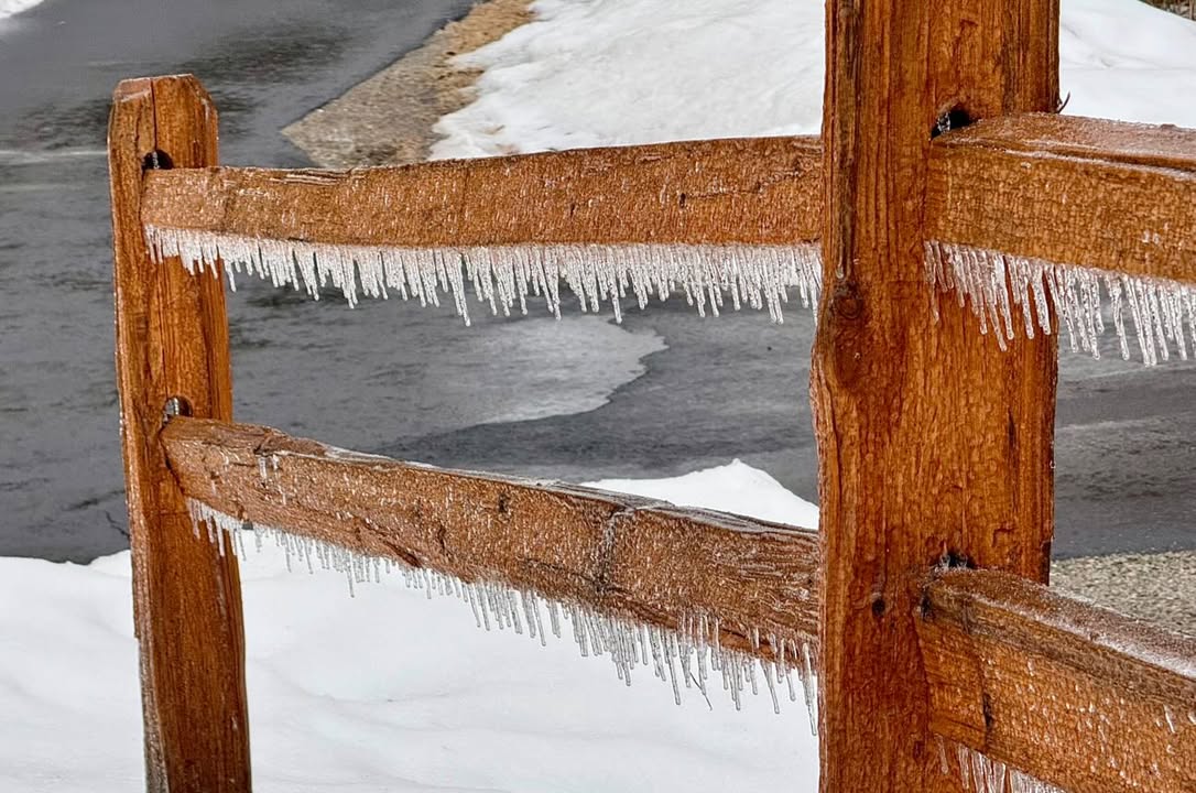
Freezing rain, snow, and hail reports for March 28-29

Over a quarter of an inch of ice accumulation was reported in areas from the Arrowhead to the Iron Range (Paul Pluskwik, Ely).
A spring storm brought a variety of weather to the Northland on Friday, clearing early Saturday morning. Ice accumulation and snow caused slick travel conditions for some while afternoon thunderstorms brought quarter-sized hail to other areas in the region. Here are the storm reports for round one of precipitation, as reported to the National Weather Service-Duluth.
Freezing Rain:
- 7:00 AM 3/29 – 7 NNE Wales – 0.33 inches – Lake County
- 2:50 PM 3/28 – 2 E Hibbing – 0.25 inches – St. Louis County
- 4:27 PM 3/28 – Silver Bay – 0.20 inches – Lake County
- 5:53 AM 3/29 – Chisholm-Hibbing Airport – 0.18 inches – St. Louis County
- 5:53 AM 3/29 – Ashland Airport – 0.14 inches – Ashland County
- 7:35 PM 3/28 – 3 W Lester Park – 0.13 inches – St. Louis County
- 10:00 AM 3/29 – 5 S Herbster – 0.13 inches – Bayfield County
- 5:54 AM 3/29 – International Falls Airport – 0.08 inches – Koochiching County
- 6:03 AM 3/29 – Duluth International Airport – 0.05 inches – St. Louis County
Snowfall:
- 7:00 AM 3/29 – Hovland – 1.2 inches – Cook County
Hail:
- 4:10 PM 3/28 – 3 E Mahtowa – 1.00 inch – Carlton County
- 4:14 PM 3/28 – 1 WSW Scotts Corner – 1.00 inch – Carlton County
- 4:15 PM 3/28 – Wrenshall – 1.00 inch – Carlton County
- 4:34 PM 3/28 – 6 SE Oliver – 0.88 inches – Douglas County
- 3:36 PM 3/28 – 2 SW Tamarack – 0.75 inches – Aitkin County
- 3:56 PM 3/28 – 5 NNW Barnum – 0.75 inches – Carlton County
- 4:37 PM 3/28 – 3 W South Range – 0.75 inches – Douglas County
- 5:06 PM 3/28 – Washburn – 0.75 inches – Bayfield County
- 4:32 PM 3/28 – 3 SE Superior – 0.70 inches – Douglas County
- 3:17 PM 3/28 – 5 NNW Kimberly – 0.25 inches – Aitkin County
- 4:56 PM 3/28 – 1 N Lake Nebagamon – 0.25 inches – Douglas County
Round two of this weekend’s wet weather will have snow and freezing rain. The latest forecast details can be found here.