Lea Zmurko: A break from the rain and rumbles.
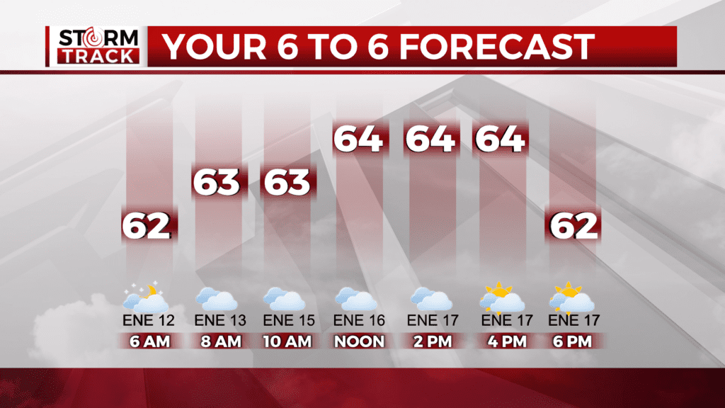
Temperature will be falling to the upper 60s this afternoon. High pressure has edged in and bringing cooler temperatures and drier air with it.
Winds will increase from the east and winds and waves will be heightened across Lake Superior. There is a heightened chance for rip currents by the Twin Ports, so a Beach Hazard Statement is in place until tonight.
By tomorrow showers and thunderstorms will return. An upper-level low will pass by just north of the Canadian boarder with a cold front draping into the Northland. The cold front will catch up to the southerly flow across the Northland and increase the instability elevating the chances for thunderstorm development and some risks for severe weather.
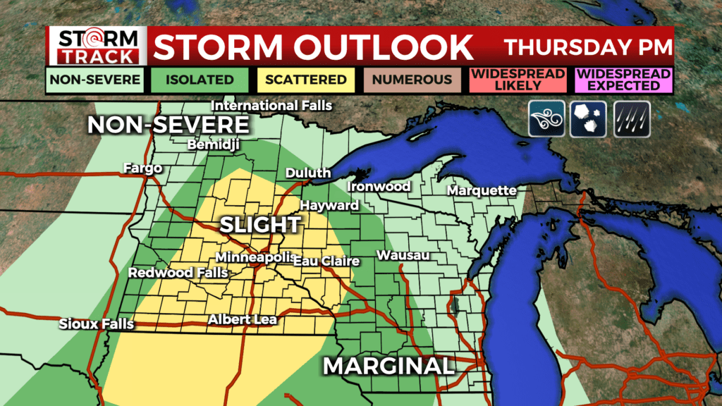
The key threats being tracked for Thursday evening is damaging winds, heavy rain and hail, the risk for tornadoes cannot be ruled out at this moment either. Minor risk of floods is a concern as many grounds remain saturated from the storms at the beginning of the week.
The long weekend is looking pleasant with seasonable conditions and sunshine sticking around into the beginning of next week. However, a few quick storms can not be ruled out in the evening hours.
Partly sunny, with a high near 67. Breezy, with an east wind 10 to 15 mph, with gusts as high as 25 mph.
Tonight
Partly cloudy, with a low around 57. Breezy, with an east wind 10 to 15 mph, with gusts as high as 20 mph.
Thursday
A chance of showers before 10am, then a chance of showers and thunderstorms between 10am and 1pm, then showers likely and possibly a thunderstorm after 1pm. Mostly cloudy, with a high near 73. East wind around 10 mph, with gusts as high as 15 mph. Chance of precipitation is 60%. New rainfall amounts between a quarter and half of an inch possible.
Friday
Sunny, with a high near 75. Breezy, with a west wind 10 to 15 mph, with gusts as high as 25 mph.
Saturday
Sunny, with a high near 77. Breezy, with a southwest wind 5 to 15 mph, with gusts as high as 20 mph.
Sunday
Sunny, with a high near 67. Breezy, with a northwest wind around 15 mph, with gusts as high as 25 mph.
Labor Day
Sunny, with a high near 68. Calm wind becoming southwest around 5 mph in the afternoon.
Tuesday
Sunny, with a high near 72. South wind 5 to 10 mph, with gusts as high as 15 mph.