Lea Zmurko: An active weather pattern continues this weekend
Rain continues for the southern regions of the Northland, as this slow moving low-pressure system clears to the east another 0.5-1 inch can be expected to fall for some by the start of the afternoon.
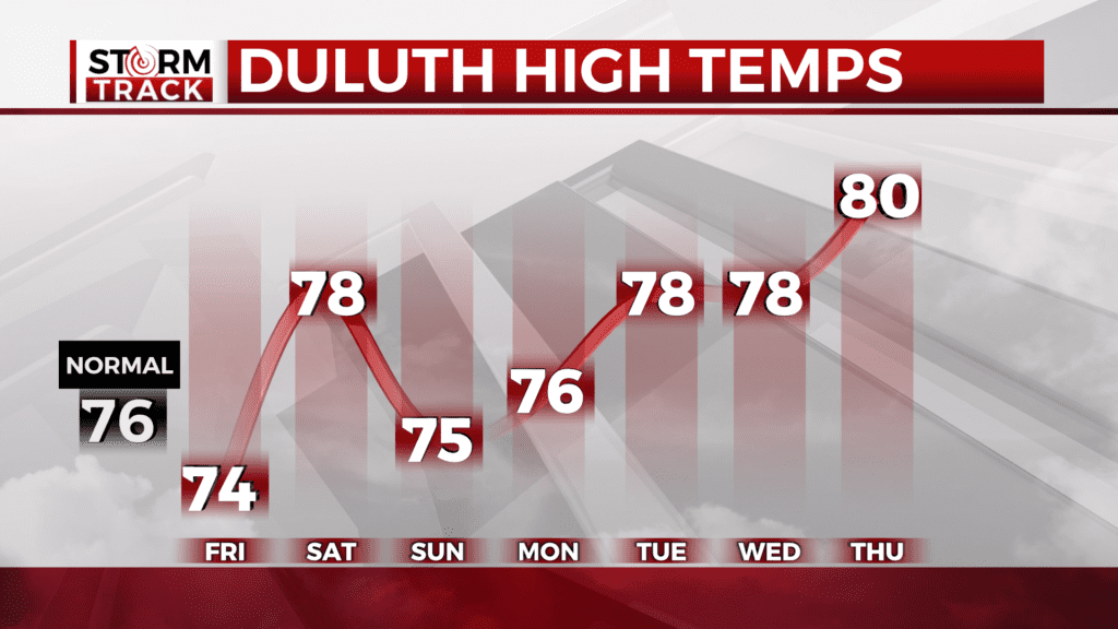
The rest of the day will consist of clouds and some sunshine. Temperatures will remain lower by the water, but further inland making their way into the upper 70s. A few isolated and scattered shower are forecasted across Minnesota in the late afternoon. There will be a few more rounds of passing scattered showers over the next few afternoons.
With the consistent rainfall accumulation in the Northland this summer, many areas are still in recovery mode from previous flooding events as high water levels continue in river basins in northern and central Minnesota. Flood advisories have been issued for southern portions of Cass County into northern Pine County as this additional rainfall is overwhelming to the waterways and saturated grounds.
With a few more storms as we round up the weekend, we will start to see a dry day or two for the middle of our upcoming week.
Today
A chance of showers, with thunderstorms also possible after 4pm. Mostly cloudy, with a high near 69. Northeast wind around 5 mph. Chance of precipitation is 30%.
Tonight
A 10 percent chance of showers and thunderstorms before 7pm. Patchy fog after 2am. Otherwise, partly cloudy, with a low around 53. Northeast wind around 5 mph becoming calm.
Saturday
A 30 percent chance of showers and thunderstorms after 1pm. Patchy fog before 8am. Otherwise, mostly sunny, with a high near 77. Southwest wind around 5 mph.
Sunday
Showers likely and possibly a thunderstorm. Partly sunny, with a high near 73. Calm wind becoming south around 5 mph in the afternoon. Chance of precipitation is 60%. New rainfall amounts between a tenth and quarter of an inch, except higher amounts possible in thunderstorms.
Monday
A chance of showers and thunderstorms, mainly after 1pm. Mostly sunny, with a high near 75. Calm wind becoming west around 5 mph.
Tuesday
A chance of showers and thunderstorms, mainly after 1pm. Mostly sunny, with a high near 75. Calm wind becoming northwest around 5 mph in the afternoon.
Wednesday
A slight chance of showers and thunderstorms. Sunny, with a high near 76. Light and variable wind becoming north 5 to 10 mph in the morning.
Thursday
Mostly sunny, with a high near 77. Calm wind becoming east around 5 mph in the afternoon.