Severe weather continues to move across the Northland Tuesday
Storms continue to move across the Northland Tuesday afternoon bringing heavy rain, thunderstorms and even Tornado Warnings to the region.
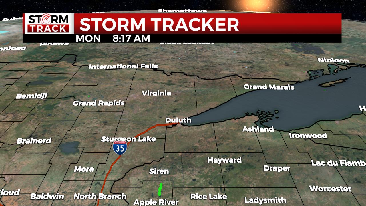
There are multiple Warnings posted for Northern Minnesota.
The storm development is influenced by a surge of warm moisture advection in front of a cold front. As temperatures climb to the 80s the warming will push instability levels as the system develops strong to severe thunderstorms for the Northland. There will be a muggy feel for the afternoon hours as the humidity lingers in the area.
As the evening continues, the storms will weaken, and by Wednesday morning dry conditions will arrive. A brief high-pressure system will pass Wednesday and into Thursday morning that will bring relief from the rain and temperatures will fall and become comfortable in the low-mid 70s. The mostly sunny skies will feel pleasant after such a dreary and wet week.
More rain and active weather is forecasted for this upcoming weekend, including additional chances for some heavy rainfall.
Today
A chance of showers and thunderstorms, then showers likely and possibly a thunderstorm after 3pm. Some of the storms could be severe. Mostly cloudy, with a high near 80. Breezy, with an east wind 10 to 20 mph becoming south in the afternoon. Winds could gust as high as 30 mph. Chance of precipitation is 60%. New rainfall amounts between a quarter and half of an inch possible.
Tonight
Showers and thunderstorms, before 2am. Low around 57. Breezy, with a southwest wind around 15 mph becoming west after midnight. Winds could gust as high as 25 mph. Chance of precipitation is 80%. New rainfall amounts between a quarter and half of an inch possible.
Juneteenth
Mostly cloudy, with a high near 71. Breezy, with a northwest wind 10 to 15 mph, with gusts as high as 20 mph.
Thursday
Mostly sunny, with a high near 68. East wind 5 to 10 mph, with gusts as high as 15 mph.
Friday
Showers and a thunderstorm. Mostly cloudy, with a high near 61. East wind around 10 mph, with gusts as high as 20 mph.
Saturday
Showers and possibly a thunderstorm. Mostly cloudy, with a high near 66. Breezy, with an east wind 10 to 15 mph, with gusts as high as 20 mph.
Sunday
A chance of showers and thunderstorms. Partly sunny, with a high near 72. Breezy, with a northwest wind 10 to 15 mph, with gusts as high as 25 mph.
Monday
Sunny, with a high near 76. Northwest wind 5 to 10 mph becoming southeast in the afternoon. Winds could gust as high as 15 mph.