Lea Zmurko: The new month is off to a cool start
As we come off a warm and dry start to fall, temperatures are finally starting to drop into seasonable conditions as we kick off October.
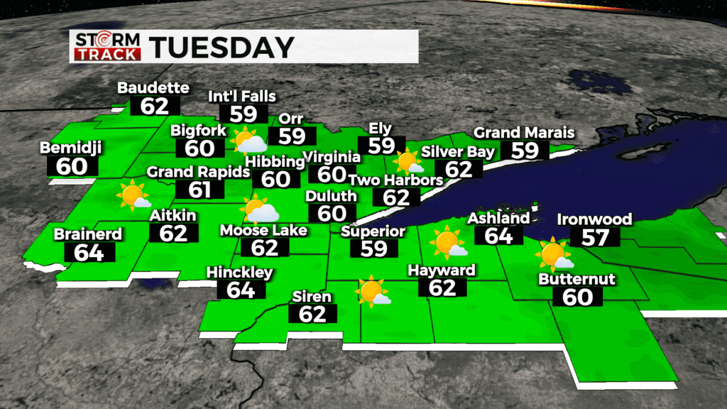
Still seeing a lack of moisture and dry weather is dominating the rest of the week. Winds however remain elevated for the start of the week seeing a strong westerly breeze across the Northland.
Highs for today will be in the 60s as the cloud coverage builds in the afternoon and winds start to weaken overnight.
Skies will clear tomorrow, and temperatures will rise again into the upper 60s and low 70s as the wind shifts to the south. But the cool air will be back for the end of the week with the possibility of frost Friday morning.
The next chance for precipitation is Saturday evening as some showers and isolated thunderstorms are likely.
Today
Sunny, with a high near 61. Breezy, with a west wind around 15 mph, with gusts as high as 30 mph.
Tonight
Mostly cloudy, with a low around 47. Breezy, with a southwest wind 5 to 15 mph, with gusts as high as 20 mph.
Wednesday
Mostly cloudy, then gradually becoming sunny, with a high near 71. Breezy, with a southwest wind 15 to 20 mph, with gusts as high as 30 mph.
Thursday
Mostly sunny, with a high near 62. West wind 5 to 10 mph, with gusts as high as 20 mph.
Friday
Sunny, with a high near 62. West wind 5 to 10 mph, with gusts as high as 15 mph.
Saturday
Mostly sunny, with a high near 68. Breezy, with a south wind 10 to 20 mph, with gusts as high as 30 mph.
Sunday
Mostly sunny, with a high near 66. Breezy, with a northwest wind 15 to 20 mph, with gusts as high as 25 mph.
Monday
Mostly sunny, with a high near 64. Northwest wind 5 to 10 mph becoming southwest in the afternoon. Winds could gust as high as 15 mph.